Contents
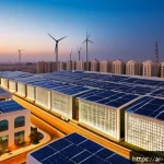
خمسة ابتكارات مذهلة في تقنيات المدن الذكية ستغير حياتك للأفضل
webmaster
في عصر تتسارع فيه التكنولوجيا بشكل غير مسبوق، أصبحت المدن الذكية محور اهتمام عالمي لتحسين جودة الحياة. تعتمد هذه المدن ...

أفضل 7 استراتيجيات لتعزيز استدامة المالية الحضرية وتحقيق نمو اقتصادي مستدام
webmaster
تعد الاستدامة المالية للمدن من أهم التحديات التي تواجه المجتمعات الحضرية اليوم، خاصة مع تزايد السكان والضغوط الاقتصادية المتصاعدة. إدارة ...

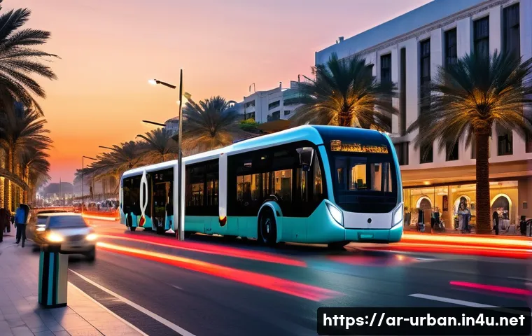
7 استراتيجيات سحرية لتحويل الفضاءات العامة إلى أيقونات مجتمعية
webmaster
مرحباً يا أصدقائي الأعزاء! هل سبق لكم أن توقفتم لتتأملوا تلك الساحات الخضراء، والممرات المبهجة، والشوارع الصاخبة التي نمر بها ...